The remote sensing techniques that make Earth Observation possible is heavily linked to sustainability and care for the environment. We don’t have to explain that having an extra set of eyes in the sky literally helps seeing things more clearly.
Think about analysing deforestation, checking the ozone layer or even the disappearance of color in coral reefs. Think measuring melting ice caps, spotting methane leaks or monitoring ground deformation.
These are fairly known applications of sustainability and Earth Observation. But what if we took things further, think a little more out-of-the-box… that’s where the magic happens.
Copernicus Masters 2020
Sustainability itself of course is a challenge. But leave it up to the Copernicus Masters to turn it up a notch and create magic with its challenges. This European competition is the largest of its kind. It is promoting and celebrating the use of (but is not limited to) Copernicus satellite data.
This competition has several challenges to take the combination sustainability, business and earth observation to the next level. Whether it be solely focusing on sustainability, a pure business case, or even a combination of both (‘Blue Economy‘): every challenge is made to improve life on earth somehow.
Think you are ready to explore the uses of satellite data even more? And compete for prizes with your sensational idea? Here are 3 examples of earth observation uses that will tease your brain!
1. A digital copy of planet Earth
Unfortunately, there is no Planet B. But what if you’d create a copy of the entire Earth, but digitally? A ‘digital twin‘ of our planet? First, a digital replica of earth allows us to experiment, analyse and predict so much more. Second, it would be, of course, a massive project. And third, it’s would be just awesome. Imagine the possibilities if you combine it with earth observation data and imagery!
A Digital Twin Earth means that reliable information about past, present and future changes in the Earth system can be obtained. With this information numerous societal and sustainable challenges can be addressed.
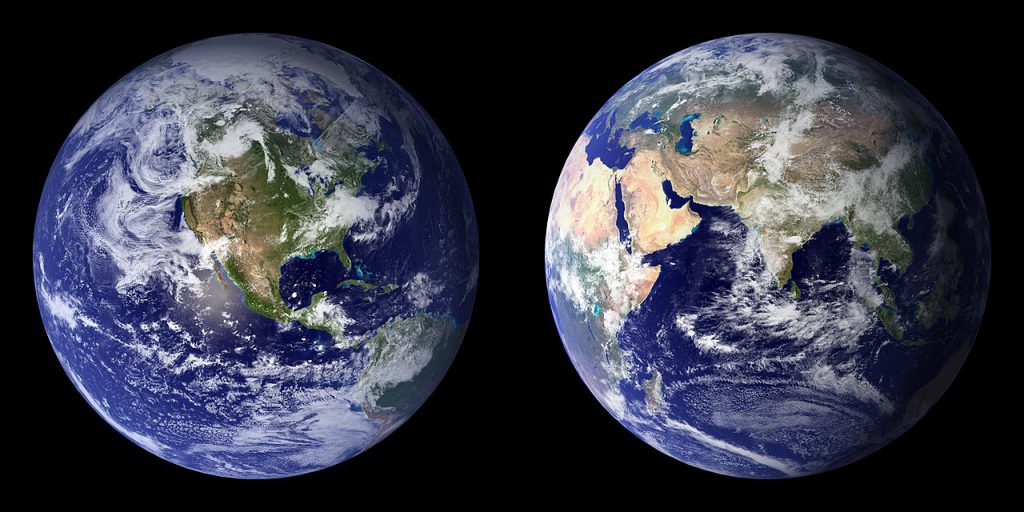
The ESA Digital Twin Earth Challenge (ESA DTE Challenge) aims to create just that. An interactive model of Earth, which arises from the integration of individual models that accurately reflect diverse physical aspects of our planet. The underlying techniques to create it will be key in this challenge.
Keywords: Artificial intelligence, Internet of Things, Cloud Computing, Data Analytics.
2. A feasible food system
For the last decade there has been a shift in consumerism: people now care more than ever about where their food came from exactly, how it was produced and how it reaches your doorsteps. For instance: supporting local biological farmers over cheap, fabricated and polluting stuff shipped worldwide.
For a satellite competition it might sound weird, but let’s zoom out for now. What if we not just think local, but act global? Let’s tackle the bigger issue here. Let’s create a feasible food system for the whole industry!
The Planet Challenge is looking for solutions to do just that. In the competition you could, for instance, focus on sustainable food systems that guarantee nutritious, affordable and safe food with minimum use of pesticides and fertilisers and minimum greenhouse gas emissions.
Keywords: agriculture, maritime, environment, Sustainable Development Goals.
3. The sound of silence
Make some noise for the next challenge! Well, not literally. Transport and logistics are one of the sectors that can decrease their impact on the environment drastically. Remote sensing satellites can help with that.
Of course, you can think of calculating the most fuel efficient route for trucks or ships, so their emissions are lower. But we’d like to talk about another form of sustainable logistics: reducing noise pollution.
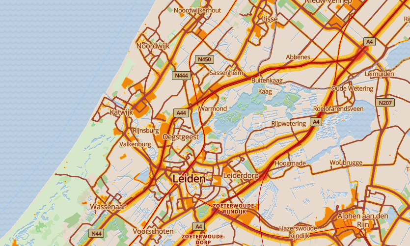
Noise caused by the transport and logistics sector can just as harmful as air pollution for humans and animals. It disturbs the quality of living in urban areas, and can be devastating for the breeding season of entire populations of animals. With remote sensing techniques, you could be considerate of nature and the well-being of your fellow humans by making the optimal route with the lowest noise output.
Sounds great, right? The BMVI Digital Transport Challenge might be for you.
Keywords: transport, logistics, environmental impact.
If you liked these kind of ‘outside the box’ challenges, and can’t wait to work with satellite data, be sure to check out the rest of the Copernicus Masters competition.
On top of these challenges, you can also double your chances if you apply for a local challenge by a partner country. SBIC Noordwijk, together with the Netherlands Space Office is organizing the Netherlands Challenge together with the following competition partners:
Liked the article? Here’s even more Earth Observation inspiration:

