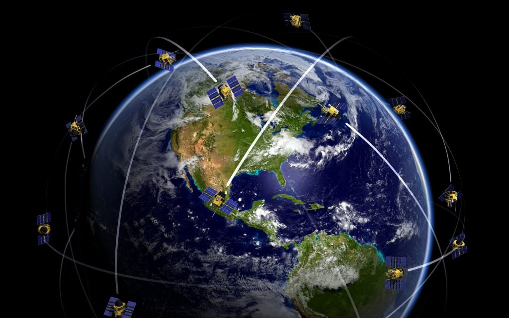
With a pair of extra eyes one sees more. Observing and monitoring our planet with satellites provides us an overall, clear and up-to-date view of what’s going on down here. It almost gives us a look into the future: having all these piles of data and images enables us to make predictions and forecasts. And that goes beyond knowing when to bring your umbrella or when to water your garden.
The main driver for all applications and solutions that use Earth observation data, is improving and maintaining our planet’s health. Curious? Here are 3 examples of successful uses of EO data that provide solutions affecting our daily lives:
Atmospheric aspects
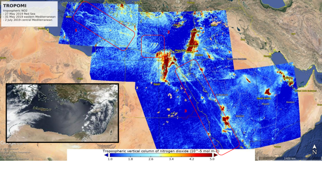
Detecting methane leaks, monitoring forest fires, mapping the distribution of volcanic gases from volcanic eruptions or tracking the polluting emissions of mega ships: with the instrument Tropomi, short for TROPOspheric Monitoring Instrument, it is all possible. It is probably the most valuable and sophisticated “eyes on Earth” instrument made in the Netherlands, carried onboard with the Sentinel-5P satellite at 824 km above the Earth. Principal Investor for Tropomi is The Royal Netherlands Meteorological Institute (KNMI).

Plastic problems
One of the major challenges our oceans currently face is plastic pollution: approximately 4.8 to 12.7 million tonnes of plastic enter the ocean each year. And that’s ’only’ from estimates in 2010, and within 50 kilometers of the coastline. Satellites can be of great help to detect the garbage. In March this year, it was proven that the sensor capabilities of Sentinel-2, one of the satellites of the Copernicus Program, can contribute to detecting marine debris patches. However, it’s hard to distinguish algae, foam, waves or glints from plastic. Machine learning is the helping hand here, providing us the information that is needed to keep our oceans clean(er).
Also read:
Visualising floods
Both the Sentinel-1 and Sentinel-2 can go hand in hand when it comes to mapping flooded areas. In combination with other data sources, for example crisis information coming from web-services, the disaster area can be visualised. This is helpful for setting up rescue and evacuation missions, routes to deliver supplies to victims, but also to setup flight routes for potential future floods.
These are only 3 ways EO data can improve life on Earth. The Copernicus Masters competition is looking for more of these uses. This European space business competition has several challenges, so your idea or solution can become another successful example. Don’t wait any longer and submit your idea or solution now:
Application deadline has been extended to July 13, 23:59 CEST.
Image sources: Getty Images


