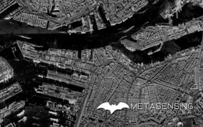
ESA BIC Noordwijk alumnus MetaSensing’s advance in synthetic aperture radar technology was enabled during the incubation programme. Read interview with founder Andriano Meta as part of #20yearsESABIC.
20 years of ESA BIC: How MetaSensing was fuelled by ESA BIC Noordwijk
read more

