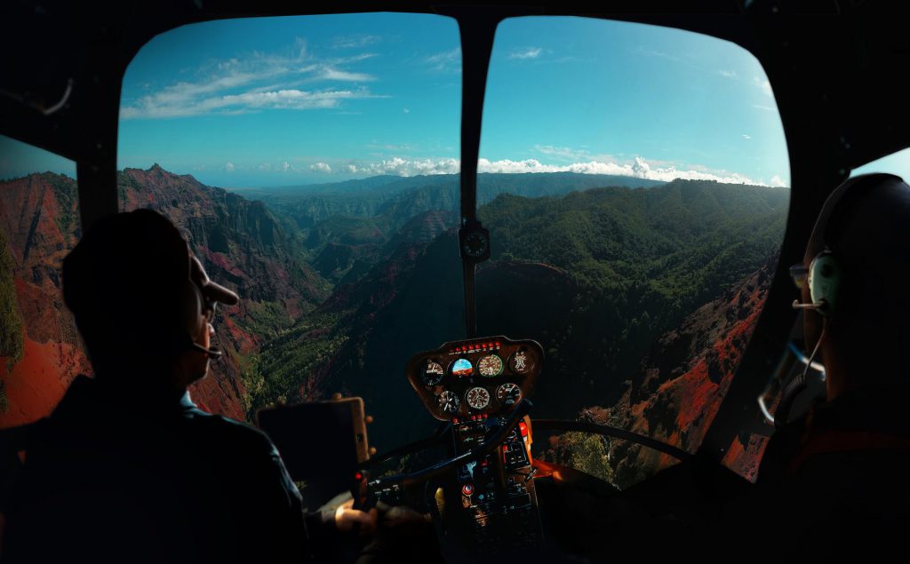
Before even getting into the plane, pilots have important decisions to make – based on the weather. Weather however can change really fast, and it affects the flight route of the aircraft. That’s why Meandair created an app, Radair 4D, to reduce that uncertainty in the cockpit.
Peter Novak (Slovakia) has a background in AI and did his post doc on trajectory planning at the technical university of Prague. Then, when he moved to Delft, he got an introduction to the Dutch weather the hard way: by spending a lot of time on his bicycle in the rain.
Then someone showed him Buienradar – an app which shows where it rains or will rain. It is well-known to everyone in the Netherlands, but for Peter it was unheard of. “It changed my perception. Everyone here uses it to avoid rain showers and to time their departure on bike.” It was then the foundation for Radair was born. “The final piece of the puzzle was when I saw a documentary on how pilots navigate their planes around bad weather like thunderstorms. That’s when I said: Hey, I can do this!”
Business model
The time was 2015. Peter found a cofounder in his former student Antonin Komenda from Czech Republic, and then spent some time at YES!Delft to validate the idea. In 2018 they incorporated, entered the ESA BIC programme this spring and this summer the two entrepreneurs launched the first version of his app with a freemium business model. It was introduced to pilots for free – the goal is to eventually upsell to a premium edition.
Meandair aims at the B2C market first with private pilots, then cargo pilots, pilots from business jets and rescue pilots. When the first revenue drips in, Meandair will create a B2B solution for commercial airlines.
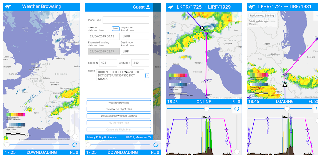
How does the app work?
Meandair is processing data from geostationary meteorological satellites. It is different from Buienradar in important ways: a pilot is able to view extrapolated weather up to 5 hours into the future. And unlike Buienradar, you also see the vertical dimension: important for the different flight levels. You can see the formations from clouds from top to bottom as well – because that’s what you need to know when you want to fly over them.
Getting ready to fly
Peter and Antonin now are preparing to take the market by storm. “We got some traction, and technically we are there, so now we’re getting ready for marketing.” Although the app works, being an entrepreneur also means to change and evolve a product. “Radair 4D is used by some pilots – they download the data and fly with it. But eventually we want to provide real-time updates directly into the cockpit.” The ultimate goal: “We want to become a button in every glass cockpit – integrated in the dashboard of all future aircrafts.”

Why join the ESA BIC programme?
For Peter and Antonin, entering ESA BIC Noordwijk was a logical choice. “Everything we do has to do with space. And we are close to ESA-ESTEC. We use meteorological satellite navigation and satellite communication. We need to push all that data into cockpit. So we are getting close to people who are solving technically similar things. Here we hope to learn how to run this kind of business, and gain access to a network of people who can invest in our proposition.”
Lifestyle factor
One thing they found out while building their business, is that there’s a huge difference between the B2C and B2B aviation market. “The funny thing with private pilots is, is that everyone knows how to do it in their own way. And of course, no-one knows their plane better than they do. It’s almost similar to people riding a motorbike. We found out that the lifestyle factor is a huge factor in aviation. It’s now up to us to have that in mind developing our solution.”
